Day 3
On January 4, Stage3
San Miguel de Tucuman (Argentina)
San Salvador de Jujuy (Argentina) Liaison: 164km, SS(A): 75km, Neutral Zone: 291km, SS(B): 124km, Liaison: 103km Total: 757km
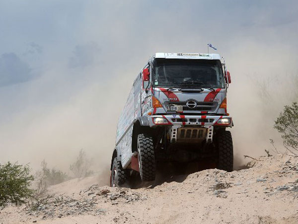
The itinerary for Jan. 4 took contestants to the foothills of the Andes in the northeastern part of the country where they raced two SSs with a total SS distance of 199km in the last Argentine stage in the first half of the rally. Upon leaving Tucuman, racers traveled on a 164km liaison route to the start line of the first SS in the foothills of the Andes at an elevation of 1800m. The SS challenged contestants with the first off-road terrain where they drove over wastelands with no roads. Some areas were reminiscent of Africa featuring sandy terrain with grass outcrops and dried river beds. The total SS distance for the Trucks category was 75km shorter than that for other categories (other categories raced for 240km). This also meant that trucks had to travel a longer, 291km, neutral zone from the finish line of the first SS to the start line of the second. In this neutral zone, contestants passed the 4960m point, the highest point of elevation in this year's Dakar Rally. This was followed by the second SS which was 124km long and set in highlands at 3500m+ elevations. After the SS finish line, racers headed down from the mountains on a 103km liaison route before reaching the bivouac at Jujuy which was set up in a parking lot by the side of a national highway. The total distance traveled this day was 757km.

.png)


.png)
.png)

.png)